
Areas of the Costa del Sol
Across the western Costa del Sol, from Estepona and the New Golden Mile to Marbella, Mijas and the coast beyond, each area has its own pace, prices and way of life. These guides use official figures from the INE, the Notariado and Registradores de España, alongside what we see on the ground.
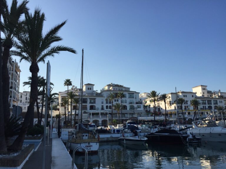 ManilvaManilva area guide: the pueblo, La Duquesa marina and golf, Sabinillas beach town, vineyards and official property figures.
 EsteponaEstepona area guide: old town, fishing port, Sierra Bermeja, schools, hospital, bus links and the latest official property figures.
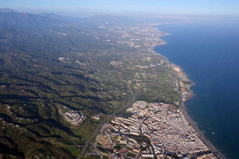 The New Golden MileThe New Golden Mile between Estepona and San Pedro Alcántara: who governs each part, the coast, schools, hospitals, transport and data.
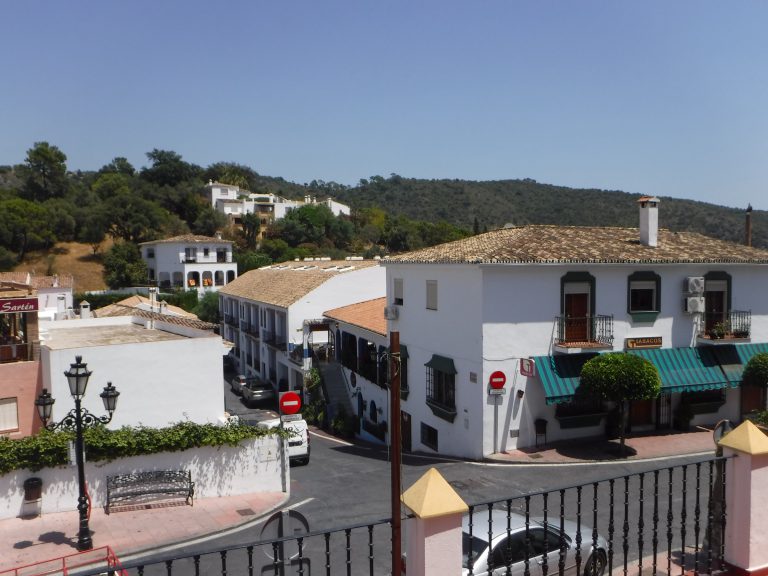 BenahavísBenahavís area guide: a hill village below a 10th-century castle, river gorges and trails, schools, healthcare and official market data.
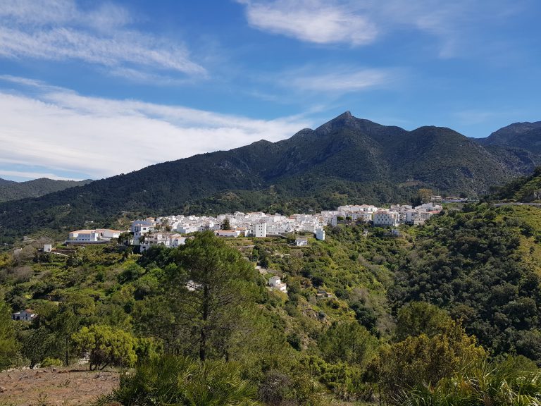 IstánIstán area guide: the water village of the Sierra de las Nieves, Morisco history, reservoir, trails, bus to Marbella and official market data.
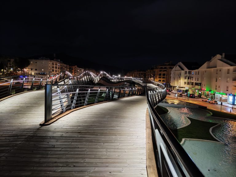 San Pedro de AlcántaraSan Pedro de Alcántara: a 19th-century sugar colony turned Marbella district, with Guadalmina golf, the boulevard, beaches, schools and data.
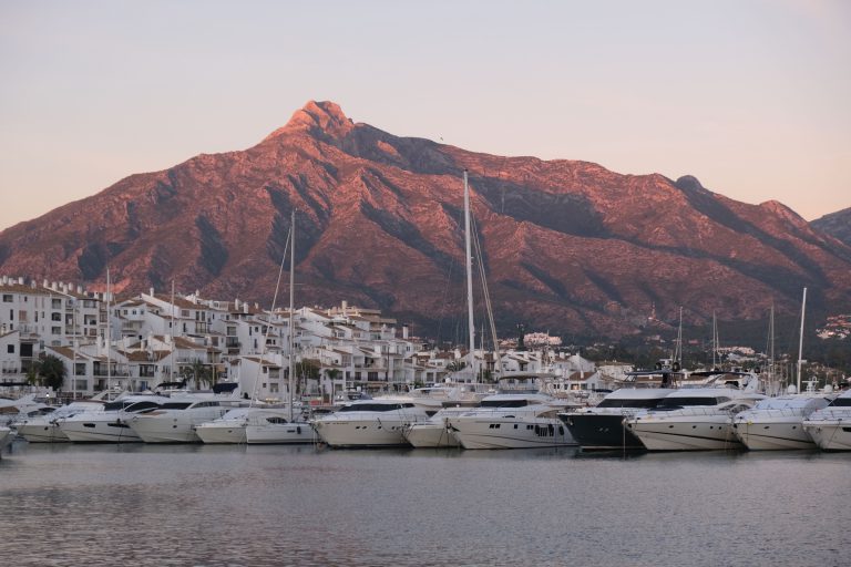 Nueva Andalucía & Puerto BanúsNueva Andalucía and Puerto Banús: the Golf Valley, the marina, where Marbella meets Benahavís, schools, transport and official housing data.
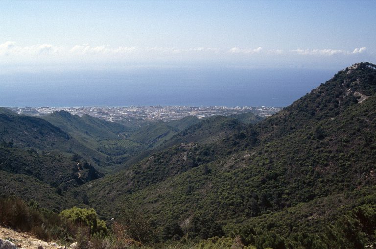 The Golden Mile & Sierra BlancaThe Golden Mile and Sierra Blanca in Marbella: beach side versus hillside, history, transport, nearby schools and official housing data.
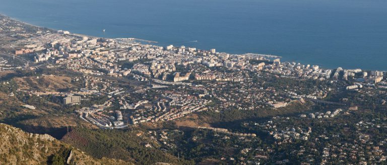 MarbellaA practical guide to Marbella: the old town, the five districts, beaches, buses, schools, hospitals and the latest official housing data.
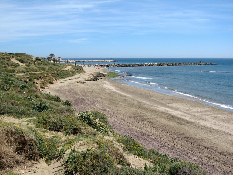 Elviria & East MarbellaGuide to Elviria and eastern Marbella: the Artola dunes, Cabopino port, schools, transport and official housing market figures for Marbella.
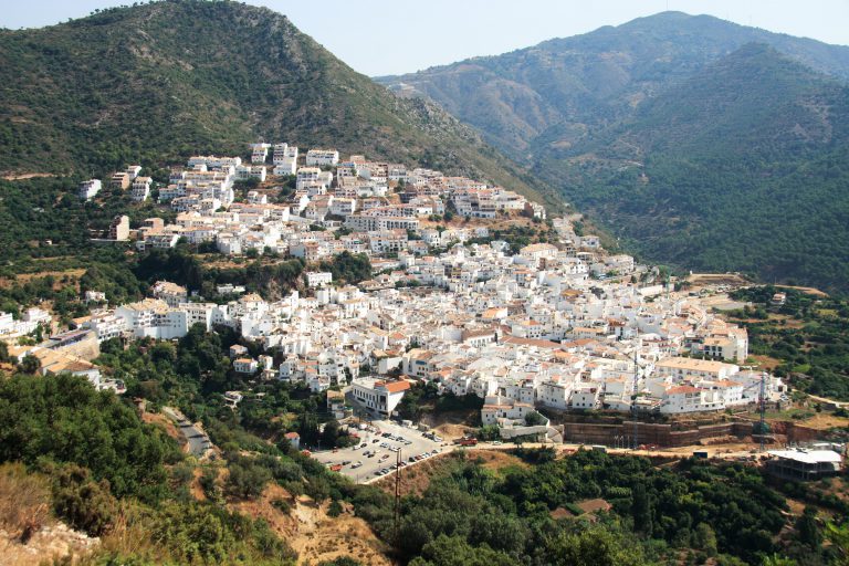 OjénGuide to Ojén, a mountain village above Marbella: history, Sierra de las Nieves walks, schools, transport and official housing market data.
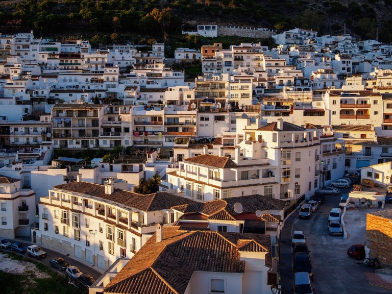 MijasGuide to Mijas: Mijas Pueblo, Las Lagunas, La Cala and Calahonda compared, with the coast, schools, transport and official housing market data.
 FuengirolaGuide to Fuengirola: barrios, beaches, the C1 train, Nordic schools, healthcare and official housing market figures for this compact coastal town.
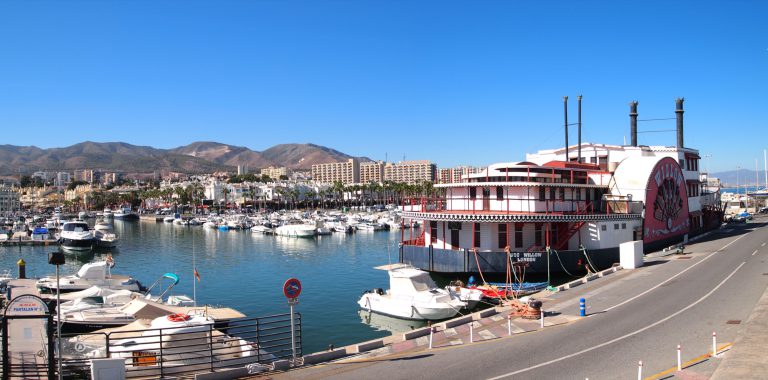 BenalmádenaBenalmádena guide: the Costa, Arroyo de la Miel, the Pueblo and Puerto Marina, the C1 train, hospitals, a British school and official market figures.
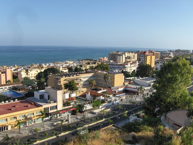 TorremolinosTorremolinos guide: La Carihuela, El Bajondillo, Montemar and Los Álamos, the C1 train by the airport, schools, healthcare and official market data.
The coast on the map
Try:
No homes in this part of the map. Zoom out or move the map.
Not sure where to start?
Tell us how you want to live, and Merike or Margit will suggest the areas worth seeing.